Hydrographic Services

Hydrographic Services
At Nielson Nigeria Limited, we provide expert Hydrography Services designed to support a wide range of marine, coastal, and inland water projects. With a focus on accuracy and reliability, we offer comprehensive solutions for mapping and analyzing underwater environments to meet the diverse needs of our clients.
Our Hydrographic Services Include:
- Bathymetric Surveys
- Detailed measurement and mapping of underwater topography.
- Essential for navigation, dredging, and infrastructure development in marine environments.
- Seabed and Subsurface Mapping
- High-resolution imaging of seabed features and sediment composition.
- Critical for resource exploration, environmental studies, and construction
projects.
-
- Hydrodynamic Studies
- Analysis of water movement, tides, and currents to support project planning.
- Used for coastal development, flood modeling, and offshore operations.
- Port and Harbor Surveys
- Assessment of water depths, channel conditions, and berthing areas.
- Supports the design, maintenance, and expansion of port facilities.
- Pipeline and Cable Route Surveys
- Precise mapping of underwater routes for pipelines and communication cables.
- Ensures safe and efficient installation and maintenance.
- Environmental Monitoring
- Water quality assessments, sediment sampling, and habitat mapping.
- Aids in environmental impact assessments and sustainable resource management.
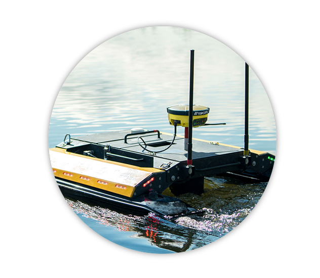
- Multibeam and Singlebeam Echo Sounders: For precise depth measurements and seabed mapping.
- Side-Scan Sonar: High-resolution imaging for identifying underwater features and hazards.
- ROVs (Remotely Operated Vehicles): For detailed inspections in challenging underwater environments.
- GIS and Data Processing Software: For creating detailed maps, models, and analysis reports.
- Marine Navigation: Ensuring safe passage for vessels by identifying underwater hazards.
- Coastal Development: Supporting construction of jetties, seawalls, and coastal structures. Oil and Gas: Providing data for offshore exploration, drilling, and production.
- Renewable Energy: Supporting the development of offshore wind farms and tidal energy projects. Disaster Response: Mapping and monitoring after floods, tsunamis, or hurricanes.
- Experienced Team: Our team of licensed surveyors and geospatial experts bring unparalleled expertise.
- Cutting-Edge Technology: We leverage the latest tools to ensure accuracy and efficiency.
- Client-Centered Approach: We work closely with clients to deliver customized solutions that meet their specific needs.
- Commitment to Excellence: Quality and precision are at the heart of everything we do.
VISION STATEMENT
We aspire to be among the leaders in Geo-referenced information services provider, with effective presence in Nigeria, West Africa and indeed Oil & Gas, Engineering and Building industry worldwide.
MISSION STATEMENT
We are a Customer-Oriented and Progressive Oil and Engineering Company. Our aim is to provide high quality professional service to our client irrespective of all constraints while maintaining efficiency and profitability.